
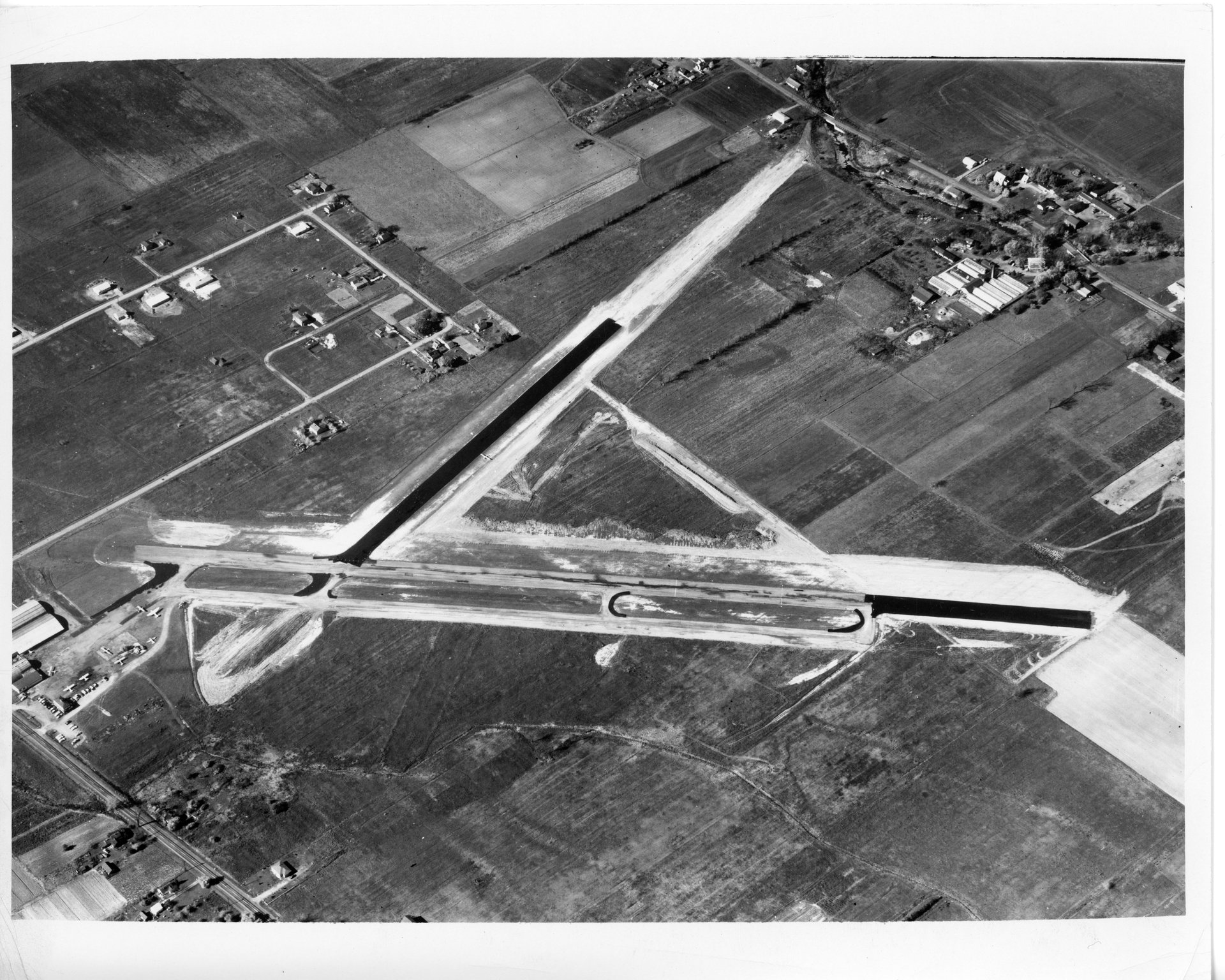
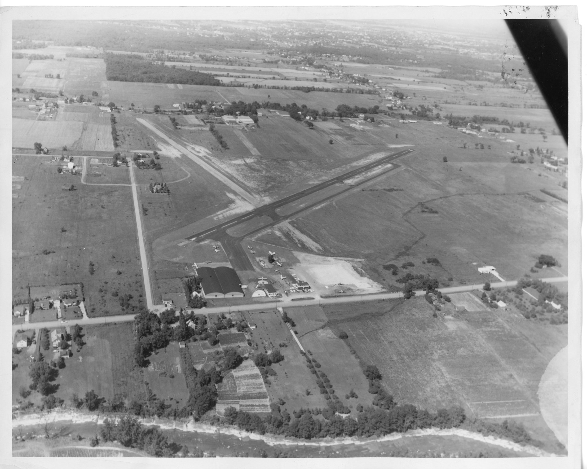
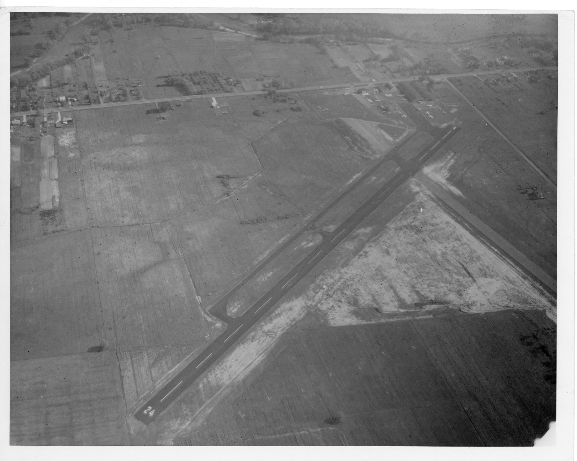
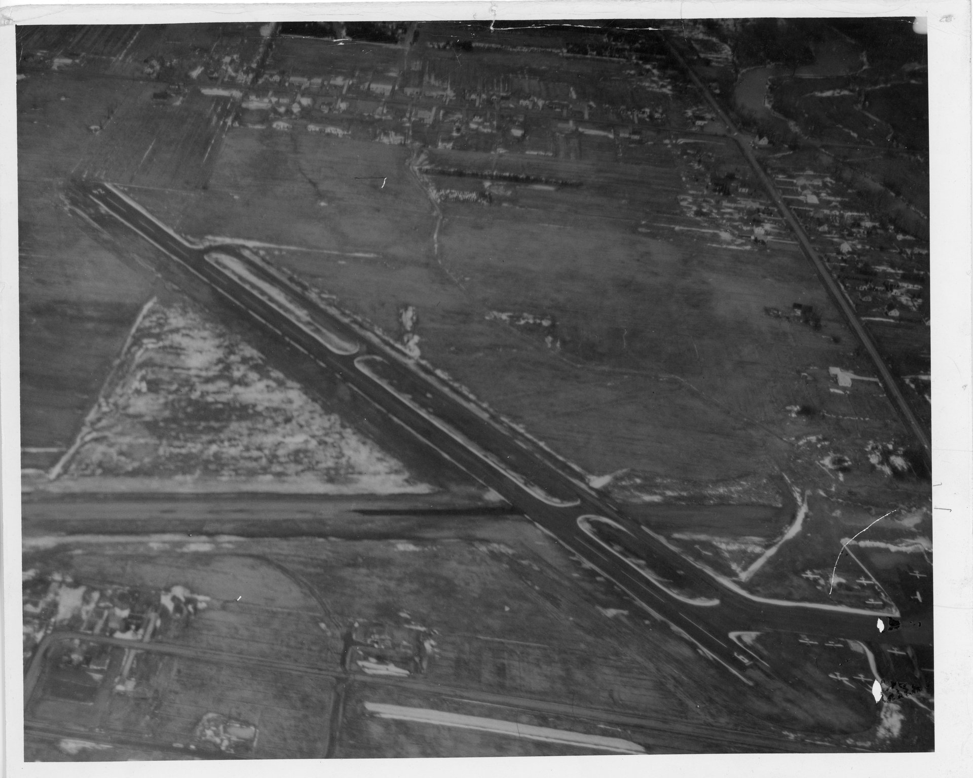
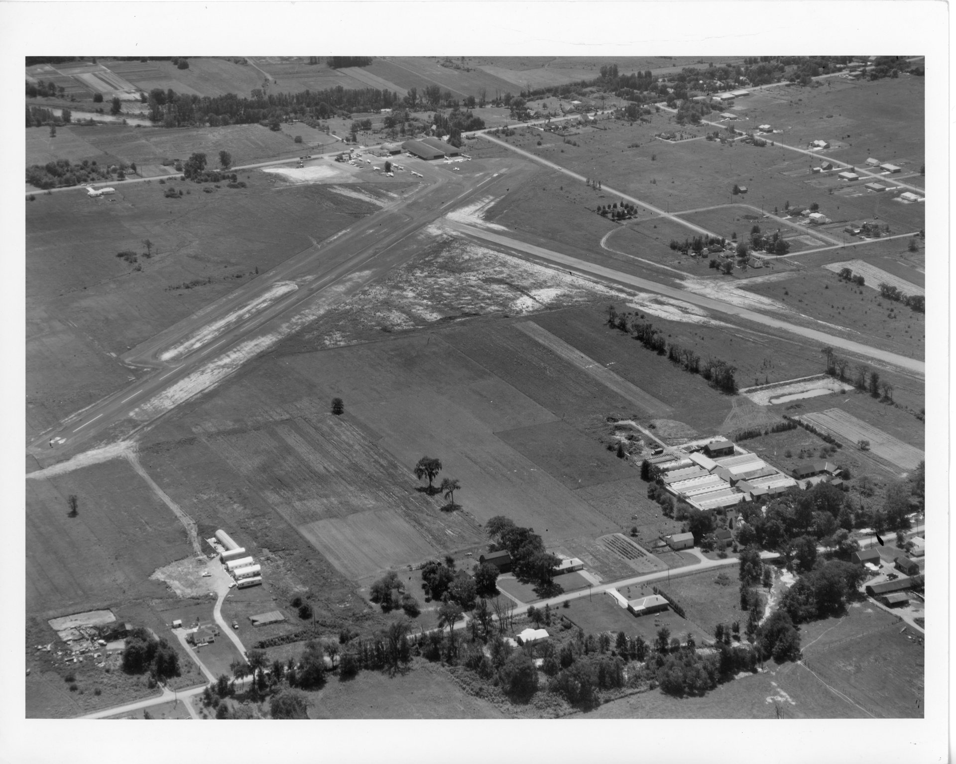
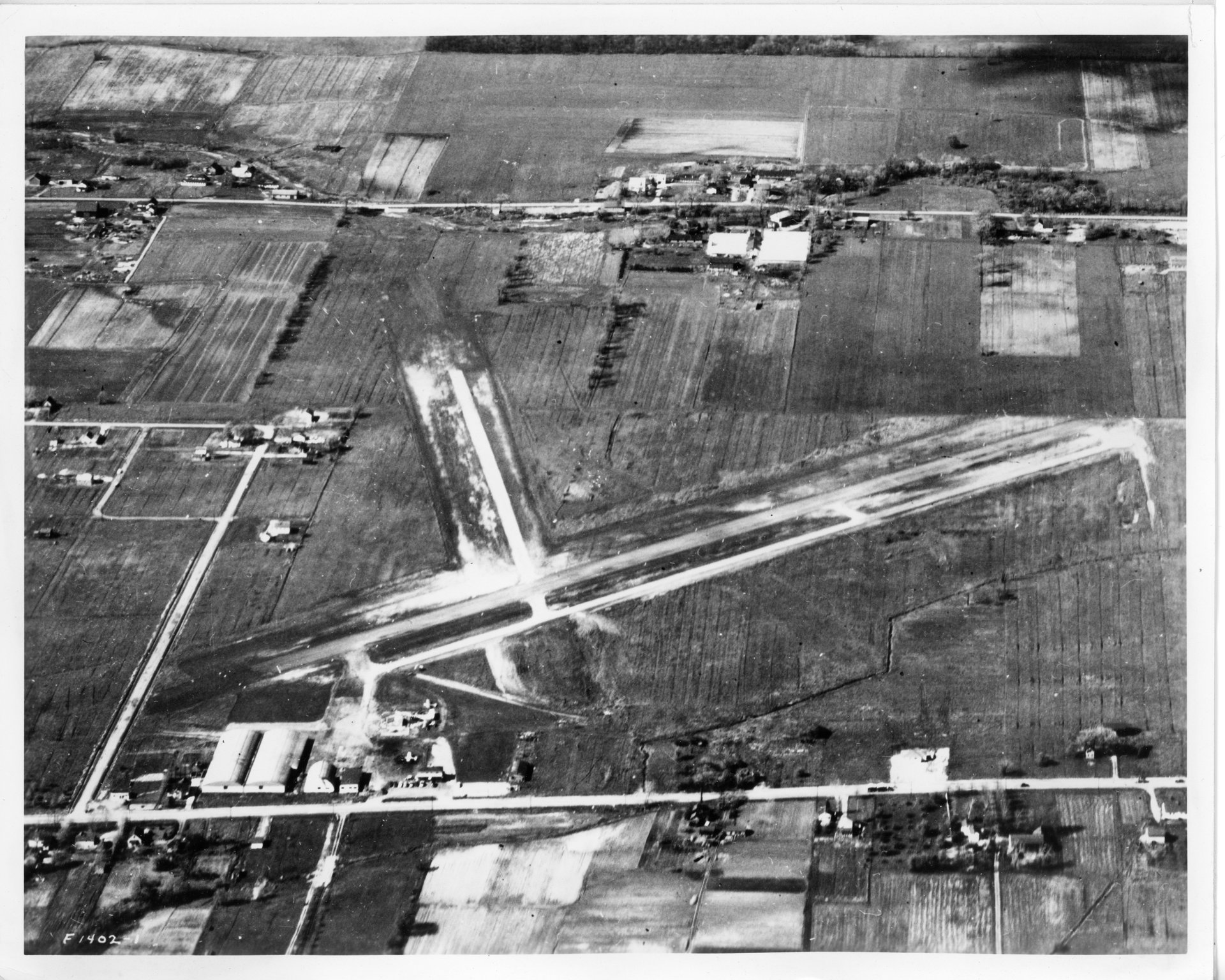
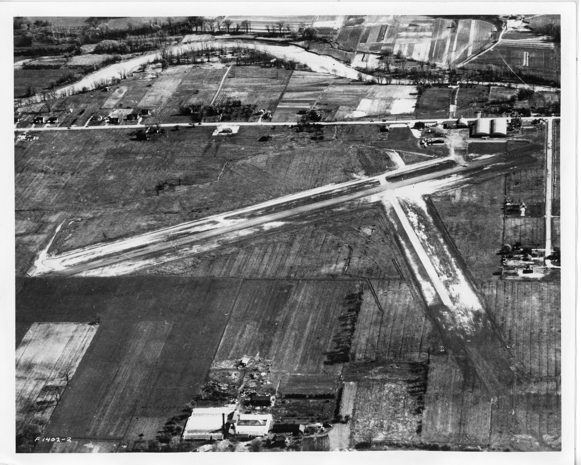
Aerial Pictures

Discover more from Buffalo Air-Park
Subscribe to get the latest posts sent to your email.
Subscribe to get the latest posts sent to your email.
The Cessna 150 is a successor to the famous tail dragger Cessna 140, which ended production in 1951. This new Cessna 150 started production in 1958 and was later replaced by the Cessna 152 in the summer of 1977. The landing gear changed from a tail dragger to a new tricycle design, and the new…
Tony had many scrapbooks, but his favorite is the one he started around 1930 using his father’s hardcover book “The Home” that he glued newspaper and magazine articles into that he found meaningful about aviation. Little did he know, or maybe he did, that he was preserving aviation history so the stories would always be…
I know I’ve touched on the Aristocrat airplane, being it was my father’s first airplane purchased right after receiving his pilot’s license, but now it’s time to really dive into this fascinating aircraft. As I write blog posts for this website, I often reminisce about how my father must have felt while gaining flight time,…
For today’s blog post, I thought it’d be cool to dive into the story of the Globe Swift—a sporty little airplane that holds a special place in my family’s history. You see, back in 1946, my dad was actually a certified dealer for these sleek machines. He always said the Swift reminded him of a…
Since this is the 43rd anniversary of The Blizzard of 1977, it’s only fitting to look back at the hanger collapse at Buffalo Air-Park and remember the planes that were lost. I was only 9 at that time and still remember the sadness I felt seeing so much destruction. Discover more from Buffalo Air-Park Subscribe…
I was always fascinated with this airplane and enjoyed seeing it fly into the airpark when I was younger. I remember the excitement when I heard the pilot radio in that they were on final approach, and I would run outside to see the plane come in for a landing. I also remember refueling a…